A rocket has been launched from Kazakhstan carrying two British-built satellites which will help monitor natural disasters, BBC online reports Wednesday.
The UK-DMC2 and Deimos-1 spacecraft will join four platforms already in the sky that together form the Disaster Monitoring Constellation.
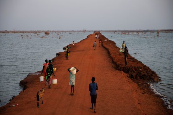
The network obtains rapid pictures of areas struck by natural calamities – such as floods, earthquakes and fire. The imagery is used by governments and aid agencies to co-ordinate relief.
– After a major disaster, the first thing you need to do is supply the relief workers with an up-to-date map, explained Philip Davies, from manufacturers Surrey Satellite Technology Limited (SSTL).
The constellation can build up images of a region very rapidly. -If there has been a big flood, there will be landslides, roads will have been washed away and bridges will be down. So you need a new map that shows you how to get around the area; and it is the satellite imagery that helps you do that, said Davies

