The first thing disaster responders do in an emergency is find out what happened, how many people need help and what assistance the survivors need.
To get an overview as quickly as possible, disaster managers use everything at their disposal: they read reports, call their local counterparts, drive to the scene of the disaster, request satellite images, and check social media.
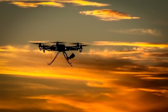
Nowadays, disaster responders have another source of information at their disposal: drones.
Drones are small, comparatively cheap and can quickly provide images of a disaster-affected area. Compared to satellites they have two big advantages.
Firstly, drone images have a much higher resolution than satellite images, which means that disaster managers get a clearer picture of what is going on.
Secondly, drones can fly under the clouds. This is particularly important after hurricanes or typhoons when it often takes two to three days before clouds dissipate and satellites are able to see the ground again.
In Vanuatu for example, the World Bank used drones for a rapid damage assessment after the island had been hit by Cyclone Pam in 2015.
In Ecuador, following this year’s heavy earthquake, the local authorities worked closely with the UAViators network of volunteer drone pilots to find out which roads were at risk of being buried by landslides.
In some cases they also used drones to fly into damaged buildings to see whether they were safe to enter.
Omfattende brug af droner i Haiti
Finally, Haiti – a country prone to hurricanes – has one of the most consistent drone programmes for humanitarian purposes.
The International Organization for Migration (IOM) has been flying drones on the island since 2012. By comparing drone images from before and after hurricanes, IOM are able to quickly calculate how many homes were destroyed and how many people need immediate shelter assistance in the aftermath of a hurricane.
The drone images also allowed the organisation to plan a flood barrier that could protect the community during future hurricanes.
As impressive as these results are, they also highlight one of the biggest issues.
Drones can only be truly useful if their use is carefully planned and integrated in the humanitarian response.
Operators should therefore be familiar with humanitarian assistance or work very closely with humanitarian organisations.
Planning and preparation is vital and will also allow for speedier response.
Unfortunately, in many situations it takes close to a week before a drone arrives in an affected county, which – in most cases – is far too slow.
Rapport på vej
An upcoming report “Drones in Humanitarian Action” which will be released on 2 December 2016, recommends that organisations should coordinate their response with humanitarian organisations that can quickly deploy when necessary.
While drones are still a comparatively new innovation in humanitarian response operations, the potential benefits are already evident.
The next five to ten years will show how organisations are able to make the most of them to improve their effectiveness and help survivors of disasters faster.
“Drones in Humanitarian Action” is an EU-funded initiative to evaluate the effectiveness of Unmanned Aerial Vehicles (UAVs) during humanitarian crises.
Drones in Humanitarian Action is led by the Swiss Foundation for Mine Action (FSD), in partnership with CartONG and the Zoi Environment Network.
Denise Soesilo er Project Manager at Swiss Foundation for Mine Action (FSD)


