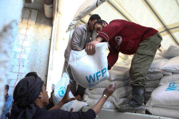
Områderne omkring de to floder Tigris og Eufrat har på blot syv år mistet 144 kubik-kilometer (km3) ferskvand, næsten svarende til vandmængden i Det Døde Hav. Det viser et nyt satellitstudie fra den amerikanske rumfartsstyrelse NASA.
PASADENA, 12 February 2013: Scientists at the University of California, Irvine; NASA’s Goddard Space Flight Center in Greenbelt, Md.; and the National Center for Atmospheric Research in Boulder, Colo., found during a seven-year period beginning in 2003 that parts of Turkey, Syria, Iraq and Iran along the Tigris and Euphrates river basins lost 117 million acre feet (144 cubic kilometers) of total stored freshwater.
That is almost the amount of water in the Dead Sea. The researchers attribute about 60 percent of the loss to pumping of groundwater from underground reservoirs.
The findings, to be published Friday, Feb. 15, in the journal Water Resources Research, are the result of one of the first comprehensive (omfattende) hydrological assessments of the entire Tigris-Euphrates-Western Iran region.
Because obtaining ground-based data in the area is difficult, satellite data, such as those from NASA’s twin Gravity Recovery and Climate Experiment (GRACE) satellites, are essential.
GRACE is providing a global picture of water storage trends (vandopbevaringstendenser) and is invaluable when hydrologic observations are not routinely collected or shared beyond political boundaries.
“GRACE data show an alarming rate of decrease in total water storage in the Tigris and Euphrates river basins, which currently have the second fastest rate of groundwater storage loss on Earth, after India,” said Jay Famiglietti, principal investigator of the study and a hydrologist and professor at UC Irvine, adding:
“The rate was especially striking after the 2007 drought (tørke). Meanwhile, demand for freshwater continues to rise, and the region does not coordinate its water management because of different interpretations of international laws.”
Tyngdekraften fortæller os om ændringer i jordens vandreserver
Famiglietti said GRACE is like having a giant scale (vægt) in the sky.
Within a given region, rising or falling water reserves alter Earth’s mass, influencing how strong the local gravitational attraction tyngdekraftsmæssige tiltrækning) is. By periodically measuring gravity (tyngdekraft) regionally, GRACE tells us how much each region’s water storage changes over time.
“GRACE really is the only way we can estimate groundwater storage changes from space right now,” Famiglietti said.
The team calculated about one-fifth of the observed water losses resulted from soil (jord) drying up and snowpack shrinking (vigende snedække), partly in response to the 2007 drought.
Loss of surface water from lakes and reservoirs accounted for about another fifth of the losses. The majority of the water lost — approximately 73 million acre feet (90 cubic kilometers) — was due to reductions in groundwater.
“That’s enough water to meet the needs of tens of millions to more than a hundred million people in the region each year, depending on regional water use standards and availability (tilgængelighed),” said Famiglietti.
Læs videre på
http://www.nasa.gov/mission_pages/Grace/news/grace20130212.html
Begynd ved: “Famiglietti said when…