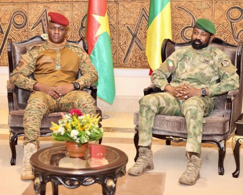
A border conflict between Mali and Burkina Faso that ended up being arbitrated in court is now being referred to by the African Union as a successful example of how local authorities can cooperate across borders.
NAI guest researcher Lassane Yameogo has conducted research in two villages on either side of the border.
The African continent was divided up among European colonial powers at the Berlin Conference in 1884-85. Borders were drawn on the map without regard to the African population.
More than a century later, several boundaries are still disputed.
Mali and Burkina Faso share a border of over 1,300 kilometres, including one stretch of 400 kilometres that is disputed.
In the mid-1980s, after two military conflicts in 1974 and 1985, the dispute was brought before the International Court in The Hague, which eventually facilitated an agreement between the two countries.
In 1990, demarcation work began on the ground with the erection of signs and border posts. The work dragged on and was completed only in 2010.
A few years prior to that, conflicts had broken out between villagers on either side of the new border, in some cases with casualties.
Border created tension
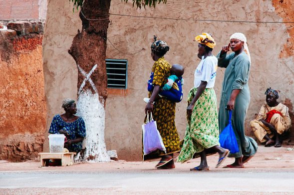
The demarcation meant not only that neighbouring villages were now located in two different countries, but that some families suddenly found themselves in one country, while their farming plots lay in the other.
This created tensions among people who had previously coexisted peacefully.
Geographer Lassane Yameogo has conducted research in two villages affected by the demarcation, Wanian on the Malian side of the border and Ouarokuy in Burkina Faso.
“People in the two villages belong to the same ethnic group and have many family ties. However, they now felt that the land available for cultivation was being truncated (delt op i stykker) and this led to brawls with former friends in the other village”, Yameogo notes adding:
“Similarly, a river that everyone had used for fishing was now on the Burkina side of the border, and thus preventing Malians to perform the traditional rituals before beginning of seasonal fishing”.
Improved farming
The initiatives to resolve the conflicts came from local actors, primarily the villagers themselves but also the affected municipalities.
As lack of land was the underlying problem, the solution was to improve farming techniques so that farmers don’t have to constantly shift on to other plots to allow previously cultivated land to regenerate.
They also agreed on the shared use of the river and ceremonial site.
“The cross-border project was a success and the AU refers to it as an example of successful conflict resolution and cross-border cooperation,” Yameogo remarks.
Prior to the demarcation, both governments were reluctant to invest in the disputed area, because of the risk that their investments might end up on the wrong side of the border.
As a result, public services in the area were worse than elsewhere in both countries. Following the agreement, investments have been made, infrastructure projects are under way and foreign donors have become established in the area.
In addition, the opening of a common health clinic in the border area allow villagers from both countries to seek treatment.
Divided territory
According to Yameogo, lack of information underlay the conflict. If people had been told why it was important to have a border and exactly how the work would be carried out, disagreements would have been avoided.
“The villagers know now they must accept that the territory is divided between the two countries. Then they may choose for themselves whether they should call themselves Burkinabe or Malian,” he concludes.
Kilde: Seneste nyhedsbrev fra Nordisk Afrikainstitut onsdag.


