Er guld værd for millioner af småbønder på det afrikanske kontinent – men hvordan gør eksperterne sig forståelige for menigmand og udbreder oplysningerne?
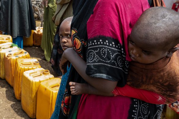
NAIROBI, 15 February 2012 (IRIN): “When should we plant?” is a question increasingly being asked by small farmers in sub-Saharan Africa who depend on rain-fed agriculture.
To help answer such questions, climate scientists are being urged to provide more reliable and relevant local climate data, and better communicate their knowledge on climate adaptation techniques.
“When we think about preparing for imminent disasters it is not possible to prepare for flooding, for example, just a few days in advance, which we get from the weather forecast”, said Simon Mason, the chief climate scientist at Columbia University’s International Research Institute for Climate and Society (IRI) in the USA.
“We need to think about preparedness further in advance and think in terms of what kind of decisions we can make, say, three months in advance, such as moving important resources away. We need a continuum of information (løbende oplysninger),” noted he.
According to Mason, more effective short, mid-range and seasonal weather forecasting is needed for the development of useful early warning systems.
Spatial (i verdensrummet) weather tools, including satellite imagery and weather forecasts, allow the processing of weather data over different space and time frames. By allowing better integration of historical data with real-time weather data, such tools can improve the accuracy and impact of forecasts.
“If we are using projections of what will happen in 80 years to plan for the next 10 years, then we will have very bad information,” Mason said.
“We have to match the kind of climate information we have with our decision-making time frames… For [climate] adaptation, we are much more interested in what is going to happen in the next few years,” added he.
Mason was speaking at a recent forum on disaster risk management at which a partnership between the UN International Strategy for Disaster Reduction (ISDR) and the African Centre of Meteorological Applications for Development (ACMAD) was launched.
The partnership is aimed at facilitating the linkage between climate scientists and disaster risk managers as well as policymakers.
“There is a need to convert the information coming from scientists into usable material such as maps… There is a need to strengthen more partnerships with regard to climate change in the Horn of Africa region,” said ISDR Africa head Pedro Basabe.
Poor linkages in the past have meant that climate research does not necessarily inform policy for disaster mitigation (modvirkning): Complicated, long-range climate projections are often hard to sell to policymakers.
“We are fairly renowned for being incomprehensible (uforståelige) to everybody,” said Mason.
User-friendly data
Læs videre på http://www.IRINnews.org/report.aspx?reportid=94870